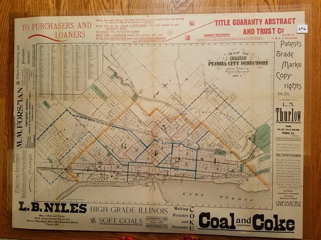
296. (Peoria, Illinois, 1892). D. B. Allen, Map of Franks’ Peoria City Directory 1892-93 ([Peoria, 1892]). Lithographed color map, 42 x 62.5cm, plus margins. Shows streets, wards, RRs, industries, public buildings, etc.; ads in margin and on verso. Condition: encapsulated; very good.