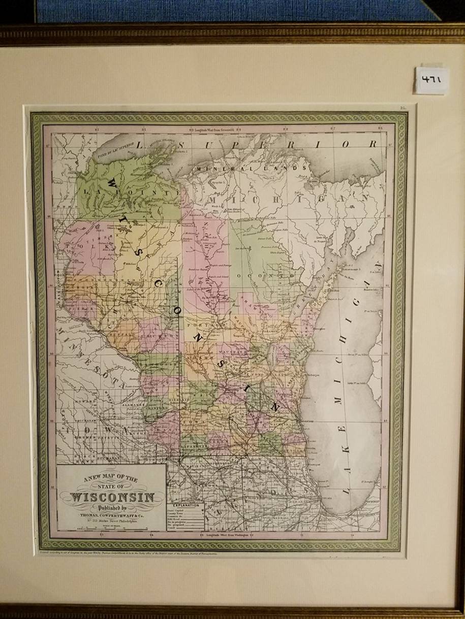
471. (Wisconsin, 1850). Thomas Cowperthwaite, A New Map of the State of Wisconsin (Philadelphia, 1850). Lithographed map, 36 x 29.5cm, plus margins, color. Shows roads, RRs, towns, waterways; counties in color; decorative border. Condition: professionally matted & framed; fine.